Typhoon Sarbul Makes Rare U-Turn Toward Hong Kong, Forecasts Vary
HK01 · 1 SOURCESabout 2 hours ago2 MIN
Summary
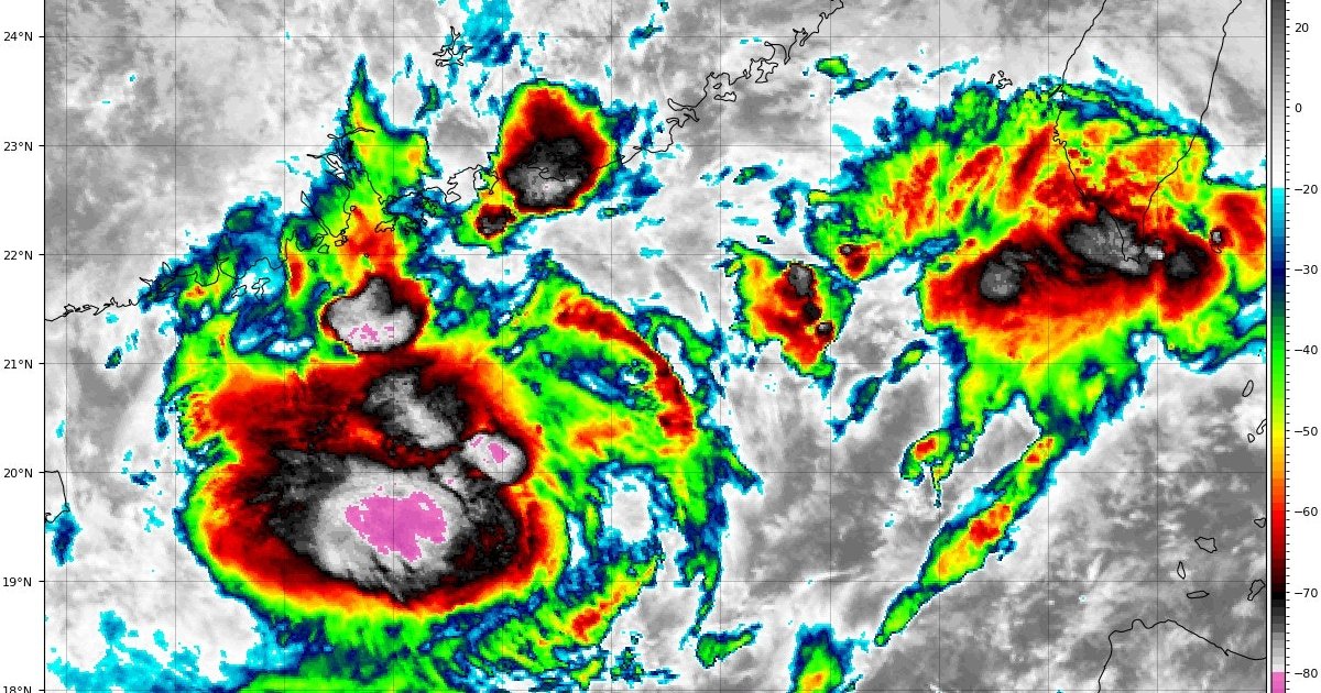
Typhoon Sarbul is displaying an unusual northward trajectory that meteorologists describe as unprecedented, with former Hong Kong Observatory Director Lam Chiu-ying calling its behavior "bizarre" after 50 years in the field. Regional weather agencies across East Asia are all predicting the storm will make a sharp westward turn after approaching eastern Guangdong, bringing it back toward the Pearl River Estuary where it will likely weaken. The Hong Kong Observatory has kept a T1 signal active as Sarbul's outer rainbands continue affecting the coast, with officials warning that tropical cyclone warnings may be needed through the rest of the week.
Key Points
- Former Observatory chief Lam Chiu-ying, with 50 years of meteorological experience, described Sarbul's path as bizarre and unlike anything he has witnessed
- Hong Kong Observatory forecasts Sarbul will reach waters about 140 kilometers east of the Observatory in Shanwei by September 6
- Japan Meteorological Agency predicts a more aggressive path, with Sarbul passing about 80 kilometers south of the Observatory as a tropical depression on September 5
- Taiwan's Central Weather Administration predicts landfall in Huilai, Guangdong on September 3 evening, then weakening to a low pressure zone near Dongguan on September 5
- At 1am on September 2, Sarbul was located about 250 kilometers southeast-east of Hong Kong with sustained winds of 65 km/h
- The Observatory indicates T1 signal will remain through this morning with low probability of upgrading to T3 today
Why It Matters
The storm's unusual path creates significant uncertainty for emergency planning, as its return trajectory brings it much closer to Hong Kong where weakening could still produce damaging winds and heavy rain. The combination of Sarbul with the Northeast Monsoon is already generating strong gusts offshore and on high ground, testing the city's readiness protocols as the system approaches from an unexpected direction .
The storm's unusual path creates significant uncertainty for emergency planning, as its return trajectory brings it much closer to Hong Kong where weakening could still produce damaging winds and heavy rain. The combination of Sarbul with the Northeast Monsoon is already generating strong gusts offshore and on high ground, testing the city's readiness protocols as the system approaches from an unexpected direction .