Midweek cool snap to bring 16°C to Hong Kong
HK01 · 2 SOURCESabout 2 hours ago2 MIN
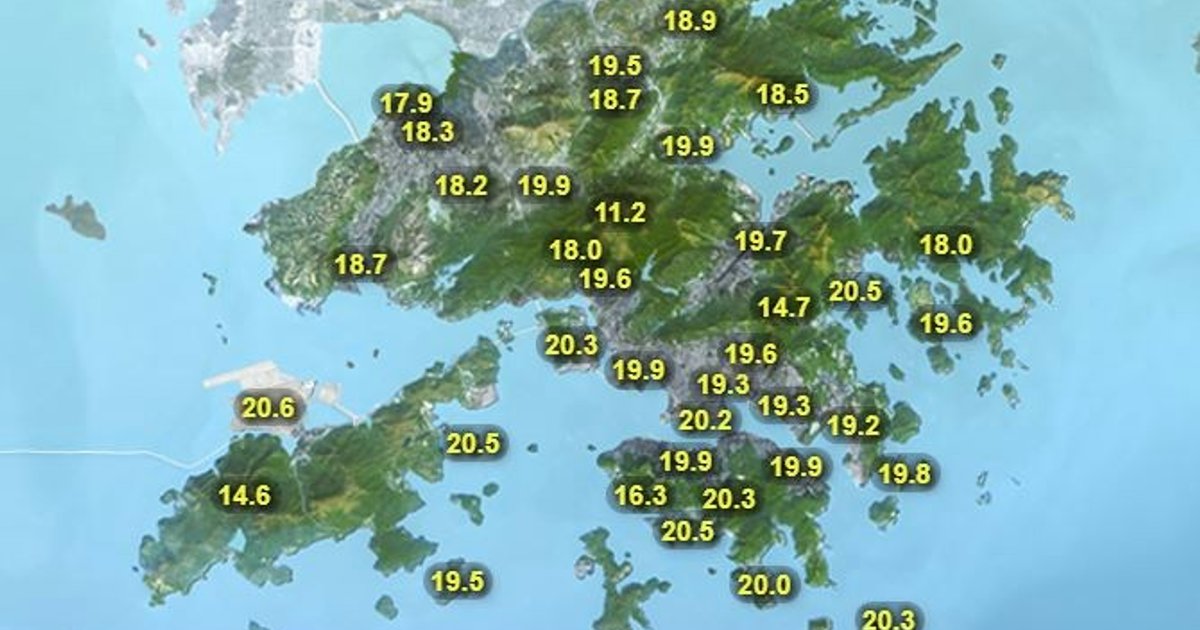
Summary
Hong Kong is expected to see a short-lived temperature rebound at the start of the week before another cool spell arrives by midweek. The Hong Kong Observatory said an easterly airstream of moderate to fresh, occasionally strong strength would affect the coast of southern China over the next one to two days, bringing more cloud and slightly higher temperatures. A northeast monsoon is then forecast to reach the coast on Tuesday, leading to lower temperatures and a few rain patches in the middle of the week. By the latter part of the week, the monsoon is expected to moderate, with brighter weather and a temperature recovery along the Guangdong coast.
Key Points
- The Observatory forecast Sunday to be mostly cloudy with one or two light rain patches later, after Sing Tao reported Saturday had turned warmer to 19°C to 22°C.
- Monday is forecast to be cloudy with one or two rain patches and temperatures of 21°C to 24°C, continuing the brief rebound.
- On Tuesday, temperatures are expected to fall to 18°C to 22°C with a few rain patches as the northeast monsoon reaches southern China.
- Wednesday is forecast to be cloudy with a few rain patches and a low of 16°C, with daytime temperatures reaching about 20°C.
- According to district forecasts, parts of the New Territories could be cooler, with Sheung Shui and Tin Shui Wai at 15°C and Ta Kwu Ling at 14°C on Wednesday
Why It Matters
The forecast points to a noticeable midweek temperature swing after a brief warm-up, which could affect commuting, outdoor work and school-day planning in Hong Kong. The colder readings expected in parts of the New Territories also suggest residents there may feel conditions more sharply than the citywide minimum indicates