UN Adopts Equal Earth Map Projection; Trump Sparks Outcry with Expansionist Map
HK01 · 2 SOURCESabout 2 hours ago2 MIN
Summary
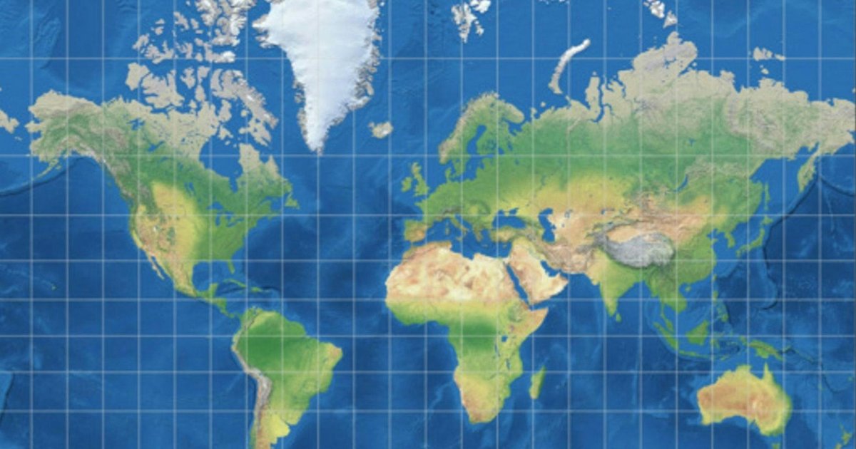
The United Nations General Assembly has overwhelmingly passed a resolution promoting the use of the Equal Earth projection map, which accurately represents the true surface area of all continents. The vote of 164 in favor, 6 abstentions, and a lone US opposition highlights a significant shift in global cartographic standards and reflects broader debates about representation and equity in international affairs. The decision challenges nearly 500 years of dominance by the Mercator projection, which visually inflates the size of higher-latitude regions like North America and Europe while compressing equatorial areas such as Africa. In a separate development, US President Donald Trump intensified his expansionist rhetoric by publishing a modified map of North America showing the Stars and Stripes covering neighboring countries, prompting sharp responses from regional leaders.
Key Points
- The UN General Assembly voted 164-0-6-1 to adopt the Equal Earth projection, with the United States casting the sole dissenting vote
- The Equal Earth projection is an equal-area map that accurately represents continent sizes without the distortion found in the 500-year-old Mercator projection
- Under Mercator, Greenland appears similar in size to Africa, while North America and Europe are visually inflated relative to their true dimensions
- Trump posted a modified "Greater America" map on Truth Social extending US territory over Canada, Mexico, Greenland, Iceland, Cuba, and Caribbean islands
- Mexican President Claudia Sheinbaum responded that Mexico is "a free, independent and sovereign nation" that "was not, is not, and will never be" a colony or protectorate
Why It Matters
The UN vote on map projections represents more than a technical decision—it signals a broader rebalancing of global narratives away from historically colonial frameworks. For Hong Kong readers, this reflects a wider trend of emerging economies and the Global South challenging Western-defined frameworks in education, media, and international institutions. The simultaneous display of US expansionist imagery underscores how cartographic representation remains deeply intertwined with questions of geopolitical power and national identity.
The UN vote on map projections represents more than a technical decision—it signals a broader rebalancing of global narratives away from historically colonial frameworks. For Hong Kong readers, this reflects a wider trend of emerging economies and the Global South challenging Western-defined frameworks in education, media, and international institutions. The simultaneous display of US expansionist imagery underscores how cartographic representation remains deeply intertwined with questions of geopolitical power and national identity.