Typhoon Baihaitun Triggers Waterspout and Power Blast in Tamsui
SingTao · 1 SOURCESabout 2 hours ago2 MIN
Summary
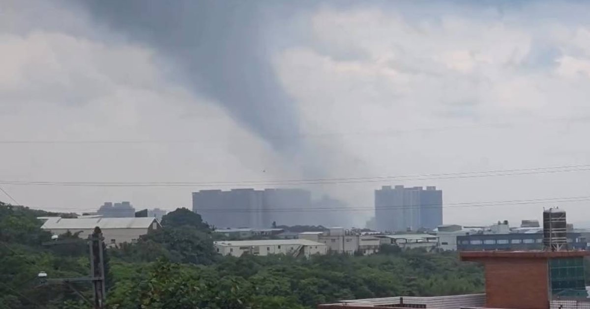
Typhoon Baihaitun’s outer circulation battered northern Taiwan on August 8, bringing intense wind and rain as the storm was forecast to make its closest approach to Taiwan from Friday night into Saturday. In Tamsui District of New Taipei City, residents and street cameras captured a rare funnel associated with severe convection, described by forecasters as likely a waterspout or funnel cloud. The violent gusts uprooted a large banyan tree, damaged roadside vegetation, lifted roofing and triggered a transformer blast, causing brief local power disruptions. Authorities said no casualties were reported and road obstacles were later cleared
Key Points
- Around 2pm on August 8, severe thunderstorm conditions in Tamsui produced a dark rotating column that extended from cloud base toward the ground and sea
- Taiwan’s weather authorities said Baihaitun would be closest to Taiwan from Friday night to Saturday and kept a sea typhoon warning in force for northern waters
- Residents reported visibility dropping to near zero as white spray and moisture swept rapidly across streets under the storm’s intense rainband
- CCTV footage showed a large banyan tree violently bending before being uprooted, while debris tangled with overhead lines at a road junction
- Near Yuying Elementary School and Section 3 of Zhongshan North Road, fallen trees and drooping wires caused a brief outage and shop power trips lasting about five minutes
Why It Matters
For Hong Kong travellers in Taiwan during the summer holiday period, the episode is a reminder that typhoon rainbands can generate sudden, highly localised hazards beyond ordinary heavy rain, including violent gusts and possible slope risks. The report also points to worsening rain in areas north of Taoyuan and in central mountain districts, where landslides and rockfalls may become a concern