Tropical Storm Giaranavi Makes Landfall in Fujian, Weakens; Another Cyclone Zitan Passing Near Leizhou Peninsula
Crhk · 2 SOURCESabout 2 hours ago2 MIN
Summary
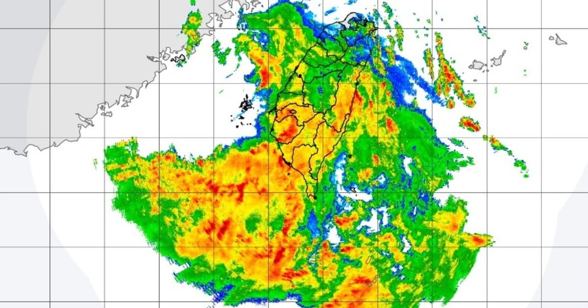
Tropical Storm Giaranavi made landfall along the Quanzhou coast in Fujian Province at 12:30 pm on Tuesday, with maximum sustained winds reaching 118 kilometers per hour near its center. The Hong Kong Observatory reported that Giaranavi will track inland across Fujian and gradually dissipate throughout the day, with its weak intensity and compact circulation presenting no direct threat to Hong Kong. Separately, another tropical cyclone named Zitan is forecast to pass near the western coast of the Leizhou Peninsula over the next one to two days, with a low probability of requiring a tropical cyclone warning signal in Hong Kong unless it shifts closer to the Pearl River Estuary.
Key Points
- Giaranavi made landfall at 12:30 pm at Zhangban Town in the Quanzhou Taiwan Business Investment Zone, Fujian Province
- Maximum sustained winds at landfall were 118 kilometers per hour (8 on the Beaufort scale), with gusts reaching higher speeds
- The Fujian Meteorological Observatory expects Giaranavi to continue moving northwestward while gradually weakening
- Giaranavi will move inland into Fujian today and dissipate, with its weak intensity and small circulation posing no direct threat to Hong Kong
- Zitan is expected to pass near the western coast of the Leizhou Peninsula over the next 24 to 48 hours while remaining at a considerable distance from Hong Kong
- The chance of issuing a tropical cyclone warning signal for Hong Kong remains low unless Zitan moves significantly closer to the Pearl River Estuary
- Active southerly airstreams will bring showers, squally thunderstorms, and occasional strong winds to offshore areas and high ground during the middle of the week
Why It Matters
While Hong Kong faces no immediate tropical cyclone threat from Giaranavi, the active weather pattern mid-week with showers and squally thunderstorms will still require public vigilance, particularly for those in offshore areas or elevated terrain where strong wind gusts are expected .
While Hong Kong faces no immediate tropical cyclone threat from Giaranavi, the active weather pattern mid-week with showers and squally thunderstorms will still require public vigilance, particularly for those in offshore areas or elevated terrain where strong wind gusts are expected .