Hong Kong Faces Extreme Heat With Showers Early
SingTao · 5 SOURCESabout 2 hours ago2 MIN
Summary
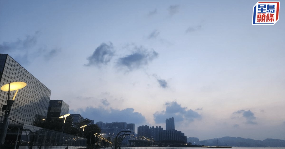
The Hong Kong Observatory said the city will be mainly fine today, with a few showers in some areas at first and very hot conditions during the day. Urban temperatures are forecast to reach about 34 degrees Celsius, while parts of the New Territories could be two to three degrees higher, bringing extreme heat to some districts.
Key Points
- The Observatory said southern China is under generally fine skies, while a southwesterly airstream is affecting the Guangdong coast.
- Today’s forecast is mainly sunny with isolated early showers, moderate southwesterly winds, and daytime heat peaking near 34 degrees in urban areas.
- Parts of the New Territories are expected to be two to three degrees hotter than urban districts, with some places reaching extreme heat levels.
- The very hot weather warning remains in force, and the Observatory urged residents to drink water, avoid strenuous outdoor exercise, and seek help if unwell.
- Tropical Depression Chan-hom was about 90 kilometres northwest of Nagoya at 5am and is forecast to cross Honshu before entering the Sea of Japan.
- The Observatory expects Thursday to remain hot, with more showers in some areas on Friday and sunny intervals with a few showers over the weekend.
- Under an upper-air disturbance, weather in southern China is expected to turn more unstable on Friday and Saturday, with more showers and some thunderstorms.
- A broad trough is forecast to affect the northern South China Sea and waters east of Taiwan early next week, then edge closer to Guangdong by midweek.
Why It Matters
The forecast points to continued heat stress in Hong Kong before temperatures ease somewhat later in the week as the southwesterly flow and unsettled weather bring more showers. Residents, outdoor workers and people exercising outside may need to adjust plans as the city moves from extreme heat to a wetter pattern with possible thunderstorms by Friday and into next week.