Typhoon Bái Hǎitún May Set Rare China Landfall Record
AM730 · 2 SOURCESabout 17 hours ago2 MIN
Summary
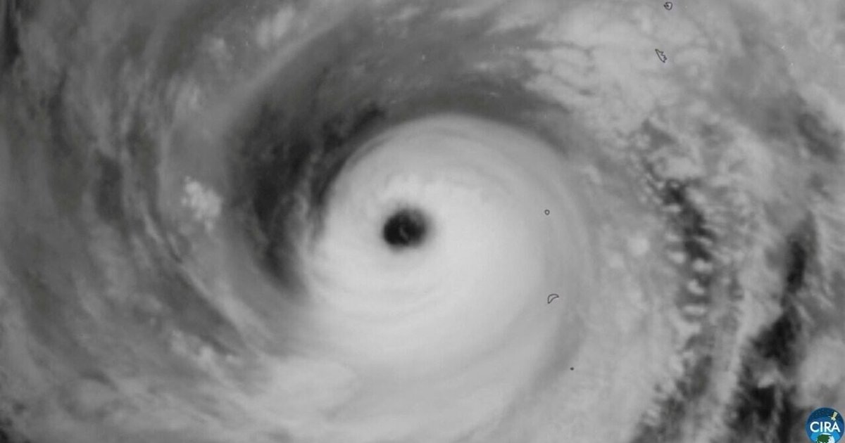
Severe Typhoon Bái Hǎitún is strengthening as it heads for eastern China and could set a rare historical benchmark for storms that form unusually far east yet still make landfall on the China coast . Forecasts indicate it will pass the Ryukyu Islands, enter the East China Sea, then move toward Zhejiang or northern Fujian, with possible landfall from Sunday afternoon to Monday morning . Forecasters say the storm’s impact will not be limited to coastal winds, as broad areas inland may face major rain from August 8 to 12 . At the same time, its outer subsiding flow is expected to intensify heat over South China, including very hot conditions in Hong Kong .
Key Points
- Bái Hǎitún formed on July 27 and has travelled more than 4,700 kilometres, earning descriptions as a marathon-like long-lived typhoon .
- It is moving west to west-northwest at about 15 to 20 kilometres per hour and was expected to enter the East China Sea after crossing Okinawa .
- The Hong Kong Observatory said it may be the first cyclone since 1961 to form east of 175°E and later make landfall on China’s coast .
- As of 11pm on August 7, the storm was about 1,040 kilometres east of Wenzhou, with maximum sustained winds near 42 metres per second .
- Mainland forecasts warn of heavy to exceptionally severe rain from August 8 to 12 across Jiangnan, Jianghan, Jianghuai and Huanghuai .
Why It Matters
Bái Hǎitún is notable not only for intensity but for its unusually long track from near the dateline toward eastern China, highlighting how far-travelling western North Pacific cyclones can still threaten the mainland . Its combination of possible strong landfall, wide rain coverage, and heat-enhancing outer circulation raises risks for transport, flooding, public health, and emergency planning across a broad region .