Japan Issues Gale Warning as Saudel May Regenerate Near Hong Kong
HK01 · 2 SOURCESabout 2 hours ago2 MIN
Summary
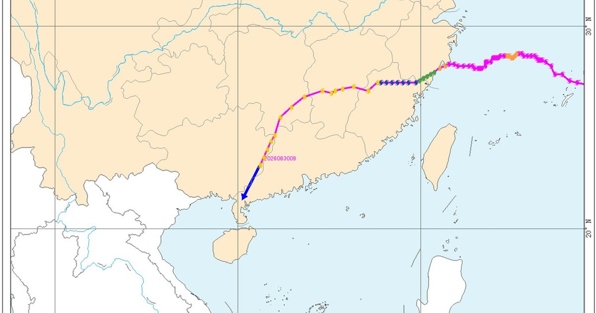
Japan's Meteorological Agency issued a gale warning early Saturday morning (Japan time), indicating that former Tropical Storm Saudel, currently located near Zhanjiang in Guangdong's Leizhou Peninsula, may be reclassified as a tropical storm within 24 hours. The agency forecasts the system will strengthen to tropical storm status early Tuesday (September 1) and execute a northeastward 'U-turn,' approaching Hong Kong's southern waters by Tuesday afternoon.
Key Points
- Japan's Meteorological Agency issued a gale warning at 3:00 AM Japan time, predicting Saudel could re-intensify to tropical storm level within 24 hours .
- The system is forecast to pass approximately 200 kilometres south of Hong Kong on Tuesday afternoon while moving northeastward .
- The Hong Kong Observatory reports a broad low-pressure trough is bringing showers and thunderstorms to Guangdong's coastal areas and the northern South China Sea .
- Saudel's remnant continues to bring unstable weather to the Leizhou Peninsula and Hainan Island region .
- Tuesday marks the first day of school in Hong Kong, with forecasts predicting strong winds reaching Force 6 on high ground .
- A separate low-pressure system east of the Philippines is also strengthening, with a new tropical cyclone appearing to form .
- Computer models show divergent predictions: the Japanese model suggests development near Guangdong, while ECMWF's AI predicts the system will dissipate .
Why It Matters
The potential regeneration of Saudel comes on the first day of school, with the Hong Kong Observatory warning of strong winds reaching Force 6 on high ground during the morning commute. This follows a pattern of unstable weather patterns affecting the region since mid-August, and multiple forecast models indicate additional tropical cyclones may develop in the coming weeks .
The potential regeneration of Saudel comes on the first day of school, with the Hong Kong Observatory warning of strong winds reaching Force 6 on high ground during the morning commute. This follows a pattern of unstable weather patterns affecting the region since mid-August, and multiple forecast models indicate additional tropical cyclones may develop in the coming weeks .